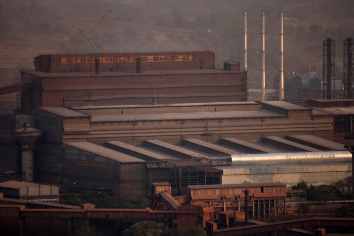
Minerals and power are the base of every factory. Iron ore and coal make steel; bauxite makes aluminium; rivers and coal make electricity. Railways, roads, ports and pipelines then carry raw material in and goods out. Papers ask where each mineral is mined, which power project is in which state, which country helped build each steel plant, and which port lies on which coast.
On this page you will learn:
- Kinds of minerals and the main mining belts
- Coal ranks, coalfields, oil fields and pipelines
- Thermal, hydel, nuclear and green power
- Steel plants, textiles, sugar, cement and IT
- Railways, highways, ports, waterways and airports
Minerals, coal and oil
Rule in one line: the old rocks of the plateau hold the metals; coal lies in old river basins; oil lies in young rocks near the coasts.
| Mineral | Main belts and places | Remember |
|---|---|---|
| Iron ore | Odisha–Jharkhand (Badampahar, Gua, Noamundi); Durg–Bastar–Chandrapur (Bailadila); Ballari–Chitradurga–Chikkamagaluru–Tumakuru (Kudremukh); Maharashtra–Goa | Odisha has been the largest producer in recent years (Indian Bureau of Mines) |
| Manganese | Odisha, Madhya Pradesh (Balaghat), Maharashtra (Nagpur–Bhandara), Karnataka | About 10 kg is needed for one tonne of steel |
| Bauxite | Odisha (Panchpatmali, Koraput); Amarkantak plateau, Maikal hills, Bilaspur–Katni | Ore of aluminium; Odisha is the largest producer |
| Copper | Balaghat (Malanjkhand, MP); Khetri (Rajasthan); Singhbhum (Jharkhand) | India produces less than it needs |
| Mica | Koderma–Gaya–Hazaribagh (Jharkhand); Ajmer (Rajasthan); Nellore (Andhra Pradesh) | Splits into thin sheets; used in electrical goods |
| Gold | Hutti (Raichur, Karnataka); Kolar Gold Fields (Karnataka) closed in 2001 | Karnataka gives most of India's mined gold |
| Tin, lead–zinc, lignite | Tin: Dantewada–Bastar (Chhattisgarh). Lead–zinc: Zawar (Rajasthan). Lignite: Neyveli (Tamil Nadu) | Chhattisgarh is the only tin-producing state; Tamil Nadu has the largest lignite reserves |
- 1PeatPartly rotted plants; lowest carbon, much moisture, burns with smoke
- 2LigniteBrown coal; Neyveli in Tamil Nadu
- 3Bituminous (coking coal)Most used; the coking type is burnt to coke for blast furnaces
- 4AnthraciteHardest, highest-grade coal; little in India
| Oil, gas and pipelines | Key facts |
|---|---|
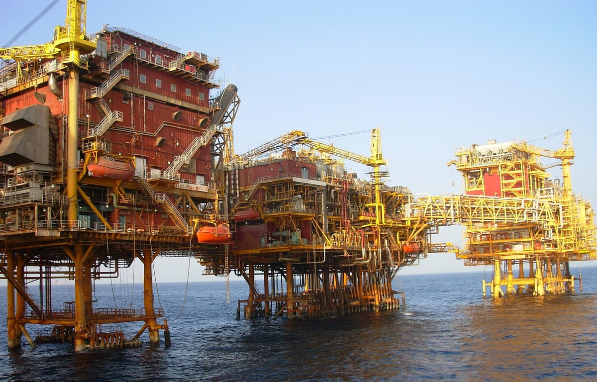
| Oil fields | Mumbai High (offshore, largest); Ankleshwar and Kalol (Gujarat); Digboi, Naharkatiya (Assam); Krishna–Godavari basin (gas) |
| Refineries | Jamnagar (Gujarat) is the largest refining hub; in Punjab, the Guru Gobind Singh Refinery at Bathinda gets crude by pipeline from Mundra |
| Oil pipeline | Naharkatiya–Guwahati–Barauni, built by Oil India — the first long crude pipeline; Salaya–Mathura in the west |
| Gas pipeline | HBJ: Hazira–Vijaipur–Jagdishpur, by GAIL; it feeds fertiliser and power plants in the north |
Power: thermal, hydel, nuclear and green
Rule in one line: thermal plants sit near coal or ports; hydel plants sit where a river falls through the hills.
Coal-based thermal power still gives most of India's electricity. Big thermal stations stand on the coalfields — Korba (Chhattisgarh), Singrauli (Uttar Pradesh) and Vindhyachal (Madhya Pradesh), Talcher (Odisha) — or near ports that bring in fuel, such as Sikka (Gujarat) and Ennore (Tamil Nadu). Parli is in Maharashtra. Punjab's thermal plants include Ropar, Lehra Mohabbat, Rajpura and Talwandi Sabo.
| Hydel project | River | Where |
|---|---|---|
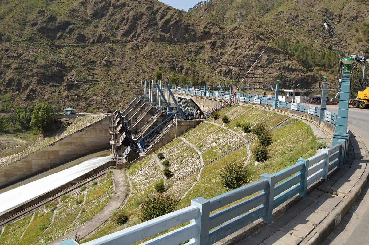
| Bhakra (Gobind Sagar) | Sutlej | Bilaspur, Himachal Pradesh |
| Pandoh dam – Dehar Power House (Beas–Sutlej Link) | Beas water sent by tunnel to the Sutlej | Mandi, Himachal Pradesh |
| Pong (Maharana Pratap Sagar) | Beas | Kangra, Himachal Pradesh |
| Nathpa Jhakri, Luhri, Khab | Sutlej | Kinnaur–Shimla–Kullu, Himachal Pradesh |
| Chamera | Ravi | Chamba, Himachal Pradesh |
| Ganguwal and Kotla power houses | Nangal Hydel Channel (Sutlej water) | Rupnagar, Punjab |
| Ranjit Sagar (Thein dam) | Ravi | Pathankot, Punjab |
Tarapur (Maharashtra) was the first, in 1969. The full list of plants is on the page on India's climate, soils, agriculture and resources.
Bhadla (western Rajasthan) and Pavagada (Karnataka) are among the largest solar parks in the world.
Near Kanyakumari, Tamil Nadu; Tamil Nadu and Gujarat lead in wind power.
The Gulf of Khambhat (Cambay) has the highest tidal potential, then the Gulf of Kachchh and the Sundarbans.
Other sources of power, in brief.
Industries: steel, textiles, sugar, cement and IT
Rule in one line: heavy industry goes to its raw material; light industry goes to its market.
| Steel plant | State | Built with help from |
|---|---|---|
| TISCO, Jamshedpur (1907) | Jharkhand | Private Indian company (Tata) |
| Bhilai | Chhattisgarh | USSR (Russia) |
| Rourkela | Odisha | West Germany |
| Durgapur | West Bengal | United Kingdom |
| Bokaro | Jharkhand | USSR (Russia) |
| IISCO, Burnpur | West Bengal | Old private plant, now with SAIL |
| Visvesvaraya Iron and Steel, Bhadravati | Karnataka | Started by the old Mysore state |
| Visakhapatnam (RINL) | Andhra Pradesh | India's first shore-based integrated plant |
| Industry | Main centres | Note |
|---|---|---|
| Cotton textiles | Mumbai, Ahmedabad, Coimbatore | First successful mill: Mumbai, 1854 |
| Jute | Hugli belt, West Bengal | First mill near Kolkata, at Rishra, 1855 |
| Silk | Karnataka (Mysore), Bhagalpur | Karnataka leads in mulberry silk |
| Woollen hosiery | Ludhiana, Punjab | Knitwear capital of India |
| Sugar | Uttar Pradesh, Maharashtra, Karnataka | Agro-based; mills stay near the cane fields |
| Cement | Near limestone: MP, Rajasthan, Andhra Pradesh, Gujarat | First plant: Chennai, 1904 |
| Fertilisers | Talcher (Odisha), Nangal and Bathinda (Punjab), Sindri | Need gas, naphtha or coal |
| Petrochemicals | Jawahar Nagar (Vadodara), Jamnagar, Mumbai | Give plastics and synthetic fibres |
| Drugs | Rishikesh (IDPL), Hyderabad | Hyderabad is a big pharma hub |
| IT and software | Bengaluru, Hyderabad, Pune, Chennai, Gurugram, Noida | Bengaluru is called the 'Silicon Valley of India' |
A nodal industry feeds many others. The Petro Chemical Industry is the nodal industry for synthetic textiles, because it makes the polyester and nylon fibres. A footloose industry can be set up almost anywhere: it is not tied to one raw material, uses small parts, makes goods in small quantity and causes little pollution — electronics is an example. So a statement that 'they are dependent on specific raw material' is NOT true of footloose industries.
The eight major industrial regions (NCERT class 12)Tap to open
- Mumbai–Pune — cotton textiles, chemicals, engineering, oil refining
- Hugli — jute along the Hooghly river near Kolkata
- Bengaluru–Tamil Nadu — cotton, electronics, IT, machines
- Gujarat (Ahmedabad–Vadodara) — textiles, petrochemicals
- Chota Nagpur — iron and steel, heavy engineering
- Visakhapatnam–Guntur — shipbuilding, steel, oil refining
- Gurugram–Delhi–Meerut — light engineering, electronics, cars
- Kollam–Thiruvananthapuram — plantation and coir goods
Railways and roads
Rule in one line: the Golden Quadrilateral joins the four metros; the two corridors cross it from north to south and east to west.
- 16 April 1853First passenger train
Bombay (Bori Bunder) to Thane, 34 km
- 1925First electric train
Bombay VT to Kurla
- 1984First metro
Kolkata
- 1998Konkan Railway opens
Roha (Maharashtra) to Thokur near Mangaluru, along the west coast
Indian Railways is run in zones, each with its own headquarters (for example Northern Railway at New Delhi). It has 17 zones plus the Kolkata Metro; a new South Coast Railway zone (HQ Visakhapatnam) was announced in 2019 and is being set up, so check the latest count before an exam. Tracks are broad gauge (1.676 m), metre gauge (1 m) and narrow gauge; most lines are now broad gauge.
About 5,846 km of wide highway joining the four metro cities.
Runs the length of India, mostly on NH-44.
Assam to the Gujarat coast; the two corridors meet at Jhansi.
Built under the National Highways Development Project by the NHAI.
| Old number (before 2010) | Route |
|---|---|
| NH-1 | Delhi–Ambala–Jalandhar–Amritsar–Attari |
| NH-1A | Jalandhar–Jammu–Srinagar–Uri |
| NH-7 | Varanasi–Kanyakumari (the longest of the old highways) |
| NH-8 | Delhi–Jaipur–Ahmedabad–Mumbai |
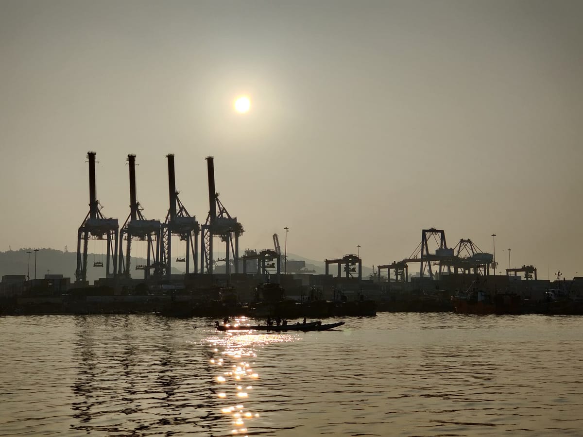
Ports, waterways and airports
Rule in one line: learn the ports coast by coast, from north to south.
- Kandla (Deendayal) and Mundra — Gujarat, Gulf of Kachchh; Mundra is the largest private port
- Mumbai — large natural harbour
- Jawaharlal Nehru Port (Nhava Sheva) — Maharashtra; one of the biggest container ports
- Mormugao — Goa; iron ore export
- New Mangalore — Karnataka; earlier exported Kudremukh iron ore (Kudremukh mining stopped in 2005)
- Kochi Port — Kerala; natural harbour at the mouth of a lagoon
- Kolkata–Haldia — West Bengal; a river port on the Hooghly
- Paradip — Odisha; iron ore and coal
- Visakhapatnam — Andhra Pradesh; the deepest landlocked, protected harbour
- Ennore (Kamarajar) — Tamil Nadu, just north of Chennai
- Chennai — one of the oldest, an artificial harbour
- Tuticorin (V.O. Chidambaranar) — Tamil Nadu, far south
Traps and practice
Last revision — where the options try to fool you.
- Ganguwal and Kotla are in Punjab, not Himachal; Luhri, Khab, Chamera and Nathpa Jhakri are in Himachal.
- Dehar power house goes with the Pandoh dam (Beas–Sutlej Link), not with Nangal.
- A pair like Sutlej Dam – Chenab is wrong: the Sutlej and the Chenab are different rivers. Maheshwar – Narmada, Tungabhadra – Krishna and Hirakud – Mahanadi are right.
- Bhilai and Bokaro — USSR; Rourkela — West Germany; Durgapur — UK. No plant was built with Sweden.
- Kochi is a west-coast port; Haldia, Paradip and Tuticorin are on the east coast.
- East–West corridor = Silchar–Porbandar, not Imphal or Rajkot.
- Sugar is agro-based; cement, steel and petrochemicals are mineral-based.
Why are most of India's steel plants in and around the Chota Nagpur plateau?
Show answer
Steel needs huge amounts of iron ore, coking coal and manganese, which are heavy and cheap to carry only over short distances. The Chota Nagpur region has all three close together, plus water from the Damodar and Subarnarekha and cheap labour, so Jamshedpur, Bokaro, Rourkela, Durgapur and Burnpur grew there.
- Only tin-producing state
- Chhattisgarh
- Largest lignite reserves
- Tamil Nadu (Neyveli)
- Largest oil field
- Mumbai High
- Dehar Power House
- Pandoh dam, Beas–Sutlej Link
- Highest tidal potential
- Gulf of Khambhat (Cambay)
- Rourkela steel plant
- West Germany
- Steel plant in Karnataka
- Bhadravati
- Nodal industry for synthetic textiles
- Petrochemicals
- First passenger train
- 1853, Bombay to Thane
- Landlocked harbour
- Visakhapatnam
- Iron ore belts: Odisha–Jharkhand, Bailadila, Kudremukh, Goa
- Copper: Malanjkhand, Khetri, Singhbhum; gold: Hutti
- Coal ranks: peat → lignite → bituminous → anthracite
- Thermal: Korba, Singrauli, Sikka, Parli, Ennore
- Hydel in Himachal: Bhakra, Pandoh–Dehar, Pong, Nathpa Jhakri, Chamera
- Bhilai, Bokaro — USSR; Rourkela — Germany; Durgapur — UK
- GQ joins four metros; NS Srinagar–Kanyakumari; EW Silchar–Porbandar
- NW-1 Ganga (Prayagraj–Haldia) is the longest waterway