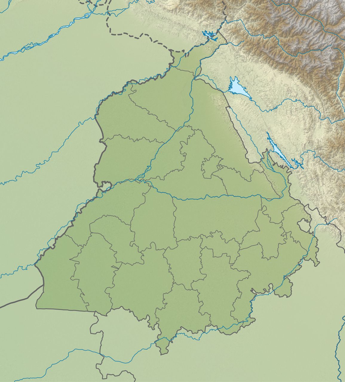
Punjab is a small but very important state in the north-west of India. It covers 50,362 sq km, only about 1.5% of India's land. It has an international border with Pakistan on the west. Almost all of it is a flat, fertile plain made by rivers. Only a thin strip of low hills, the Shivaliks, rises in the north-east. The rivers Beas and Sutlej split the state into three old regions: Majha, Doaba and Malwa. This page explains all of this in simple words.
- Where Punjab lies — its latitude, longitude, area and rank, and its neighbours.
- Its land — the Shivalik hills, the Kandi foothills, the plains and the sandy south-west.
- Its regions and doabs — Majha, Doaba, Malwa, Puadh, and the five doabs between the rivers.
Where Punjab lies
Latitude, longitude, area and rank.
| Item | Fact |
|---|---|
| Position | North-western frontier state of India |
| Shape | Roughly triangular |
| Share of India's population | About 2.3% (Census 2011) |
| Present state formed | 1 November 1966 (Punjab Reorganisation Act, 1966) |
| Capital | Chandigarh — a Union Territory, shared with Haryana |
Latitude tells how far north of the Equator a place is. Longitude tells how far east of Greenwich it is. Punjab lies between 29°30′ N and 32°32′ N, and between 73°55′ E and 76°50′ E. Some papers write 29.30° N – 32.32° N and 73.55° E – 76.50° E. They mean 29 degrees 30 minutes, and so on — the same range, written in a different way.
By area Punjab is 19th among India's 28 states — a little smaller than Uttarakhand and a little bigger than Haryana. Rajasthan is the largest state. Older books say 20th, because before 2019 Jammu & Kashmir was also counted as a state.
Present-day Punjab was formed on 1 November 1966 under the Punjab Reorganisation Act, 1966. Haryana was made a new state, Chandigarh became a Union Territory, and the hill areas went to Himachal Pradesh. Most of the hills, and their forests, went with them. Exam papers (for example Punjab Police 2024) say the smaller Punjab was left with only about 1,875 sq km of recorded forest. Learn this as the 1966 figure only. Do not mix it up with today's figures: recorded forest is about 6% of the state and satellite forest cover about 3.6% — see forests and wildlife. More history in Punjab after 1947.
Borders and neighbours
One country, three states and two Union Territories.
Neighbours in a tableTap to open
| Neighbour | Direction | Type |
|---|---|---|
| Pakistan (its Punjab province) | West | International border, about 553 km |
| Jammu & Kashmir | North | Union Territory (a state until 2019) |
| Himachal Pradesh | North-east | State |
| Chandigarh | East | Union Territory; joint capital of Punjab and Haryana |
| Haryana | South and south-east | State |
| Rajasthan | South-west | State |
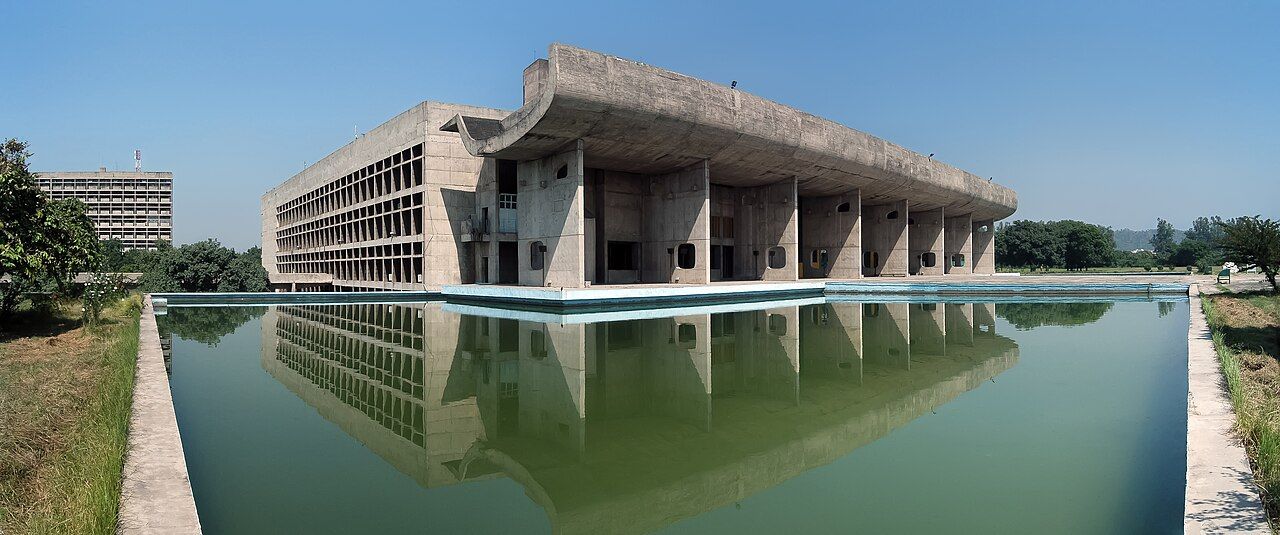
| Border district (north to south) | Region | Remember |
|---|---|---|
| Pathankot | Majha | Also touches Jammu & Kashmir and Himachal Pradesh |
| Gurdaspur | Majha | The Ravi forms the border here; Dera Baba Nanak (Kartarpur Corridor) |
| Amritsar | Majha | Attari–Wagah crossing |
| Tarn Taran | Majha | South of Amritsar, along the border |
| Ferozepur | Malwa | Hussainiwala; the Sutlej leaves India below it |
| Fazilka | Malwa | Also touches Rajasthan; the town of Abohar is in this district |
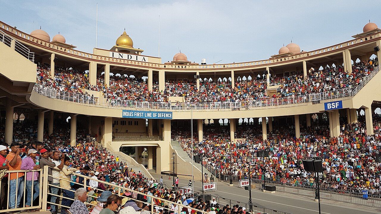
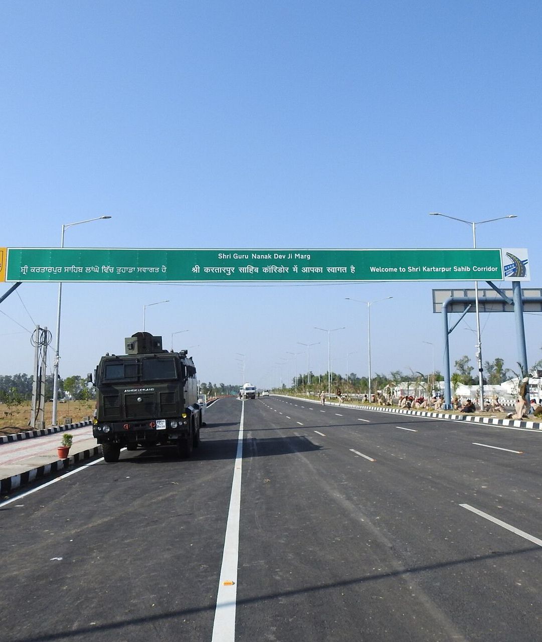
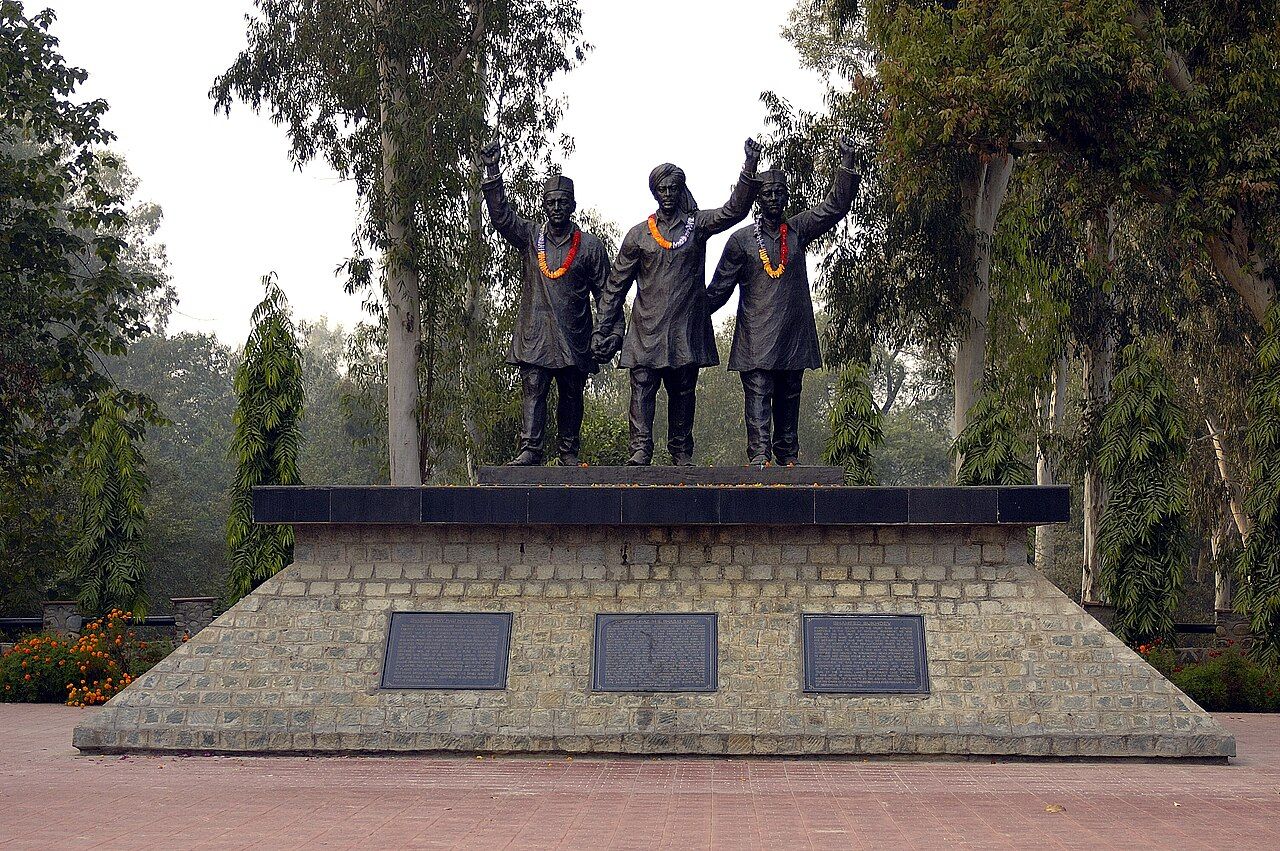
Border districts, north to south: "Please Give A True Friend Food" — Pathankot, Gurdaspur, Amritsar, Tarn Taran, Ferozepur, Fazilka. The two F's are Ferozepur and Fazilka — not Faridkot.
Hills, foothills and plains
From the Shivaliks in the north-east to the sand dunes in the south-west.
Punjab is almost entirely a plain made of alluvium (fine soil laid down by rivers of the Indus system). The land slopes gently, from about 300 m above sea level in the north-east to under 200 m in the south-west. So the rivers flow from north-east to south-west. Going across the state in that direction, you meet five belts of land.
- highestShivalik hillsLow hills, 300–900 m. The only hilly part.
- Kandi beltGravelly foothills cut by seasonal streams (choes). Farming depends on rain.
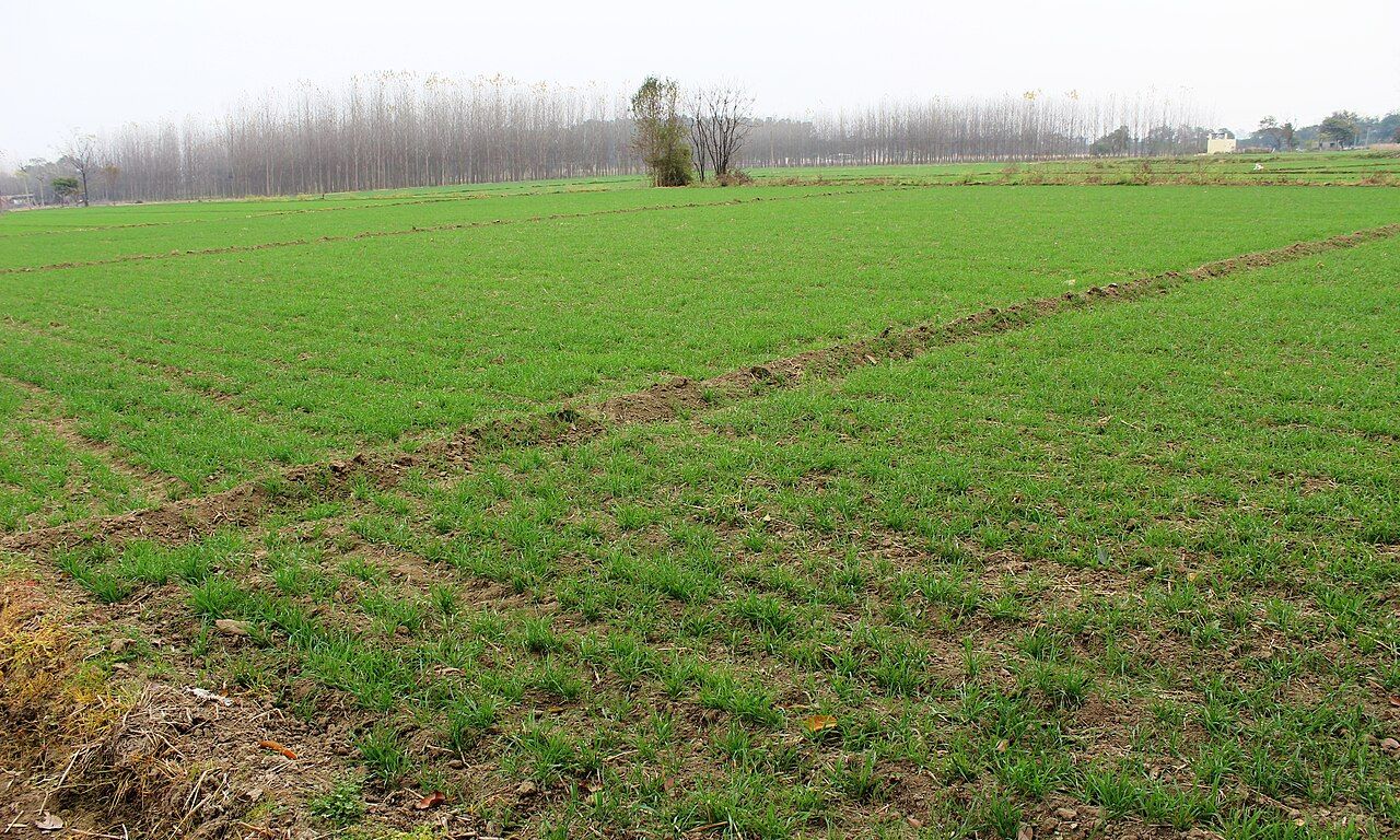
- Alluvial plainDeep, fertile soil; the wheat–rice heartland. Low floodplain strips (bet) run along the rivers.
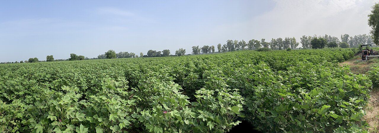
- under 200 mSandy south-westOld sand dunes, now mostly levelled. Hot and dry; the cotton belt.
Details: the five land belts and the choesTap to open
Kandi is the foothill belt just below the Shivaliks. Its soil is gravelly and the water table is deep. It is crossed by choes — seasonal hill streams that are dry most of the year but flood in the rains. Kandi farming depends on rain, and its natural forest is dry deciduous (trees that shed leaves in the dry season).
| Physical region | Where | What it is like |
|---|---|---|
| Shivalik hills | Narrow north-eastern strip: Pathankot, Hoshiarpur, SBS Nagar, Rupnagar, SAS Nagar | Low, worn-down hills (300–900 m); the only hilly part; chir pine on the highest ridges |
| Kandi belt | Just below the Shivaliks (the foothills) | Gravelly land cut by seasonal streams called choes; deep water table; farming depends on rain |
| Alluvial plain | Central Punjab: Majha, Doaba and most of Malwa | Deep, fertile loam; the wheat–rice heartland; almost fully irrigated |
| Floodplains (Bet) | Strips along the Sutlej, Beas, Ravi and Ghaggar | Low land of new alluvium (khadar), refreshed by floods |
| Sandy south-west | Fazilka, Sri Muktsar Sahib, Bathinda, Mansa, parts of Ferozepur and Faridkot | Old sand dunes (now mostly levelled); semi-arid; the cotton belt; waterlogging (sem) and salty soil (kallar) |
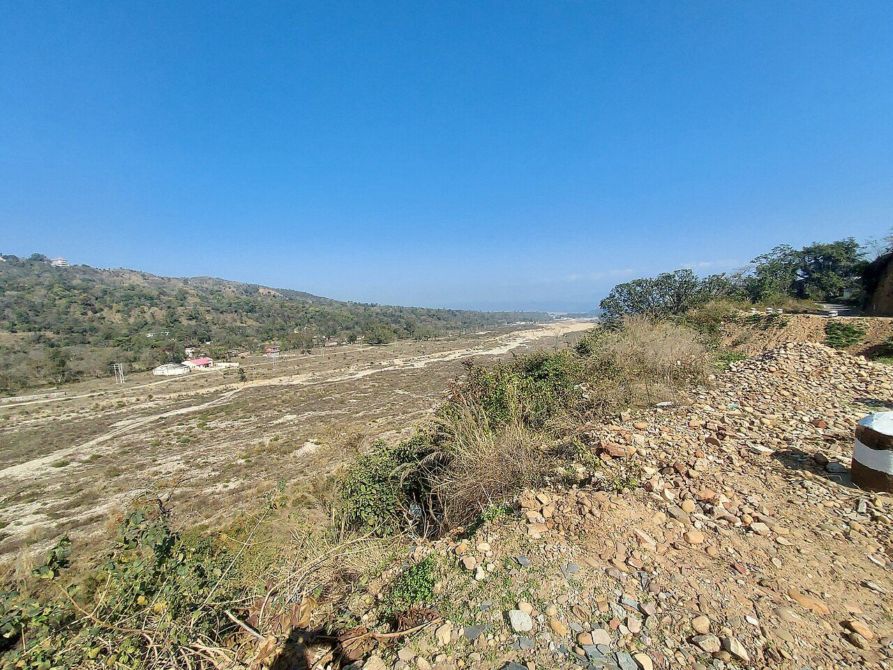
- The Shivalik (Siwalik) range is the outermost and southernmost range of the Himalayas. In Punjab it forms the north-eastern edge of the state.
- It is part of the Himalayan mountain system — not the Aravallis, the Vindhyas, the Satpuras or the Western Ghats.
- The hills of Hoshiarpur district, such as Chilwali Ghar, belong to the Shivalik range.
- Chandigarh lies at the foot of the Shivalik hills.
- Most of Punjab's little forest is in the Shivalik and Kandi districts — Hoshiarpur, Rupnagar, Pathankot and SBS Nagar. See forests and wildlife.
All seven local land wordsTap to open
| Local land term | Meaning |
|---|---|
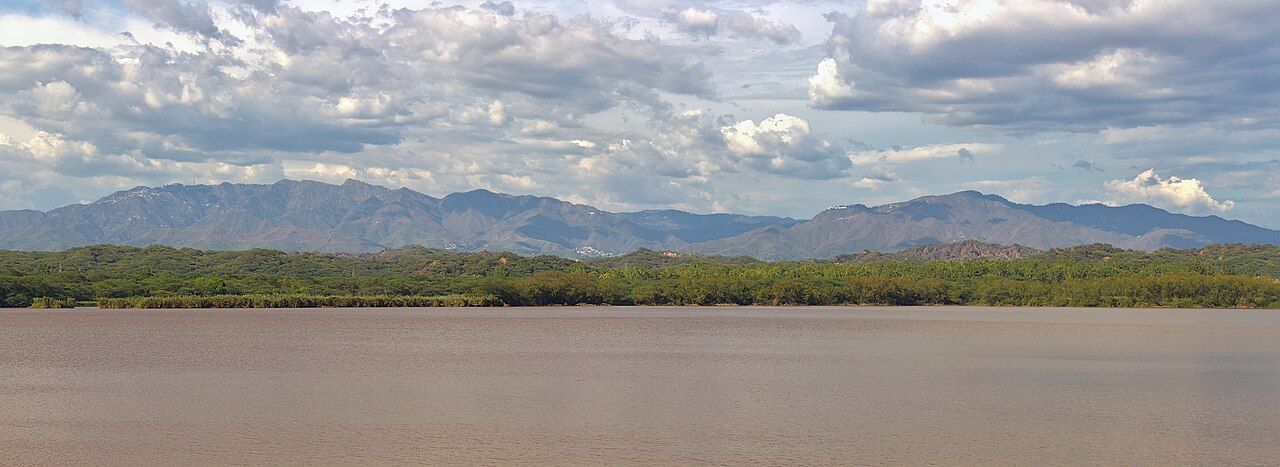
| Bet / Khadar | Low floodplain next to a river; gets fresh silt every monsoon |
| Dhaya / Bhangar | The high bank of old alluvium above the bet |
| Mand | Low riverside tract, best known along the Beas near Kapurthala–Tarn Taran |
| Changar | Uneven, eroded, less fertile land near the foot of the Shivaliks |
| Bar | High, dry upland between two rivers (Sandal Bar, Ganji Bar — now in Pakistan) |
| Rohi | The dry, sandy tract of the south-west |
| Bangar | Old-alluvium upland between the Ghaggar and the Yamuna, mostly in Haryana |
Why the sandy south-west now grows cottonTap to open
Majha, Doaba, Malwa and Puadh
Punjab's cultural regions, made by its rivers.
Long before districts were drawn, people in Punjab named their land by its rivers. The Beas and the Sutlej cut the state into three classic regions. North-west of the Beas is Majha. Between the Beas and the Sutlej is Doaba. South of the Sutlej is Malwa. A fourth, smaller belt on the eastern edge is called Puadh. Each region has its own dialect of Punjabi. Read the map from north-west to south-east: Ravi | MAJHA | Beas | DOABA | Sutlej | MALWA — the rivers are the fences.
| Region | Districts |
|---|---|
| Majha (ਮਾਝਾ) — Ravi and Beas | Amritsar, Tarn Taran, Gurdaspur, Pathankot |
| Doaba (ਦੁਆਬਾ) — Beas and Sutlej | Jalandhar, Hoshiarpur, Kapurthala, SBS Nagar (Nawanshahr) |
| Malwa (ਮਾਲਵਾ) — South of the Sutlej | Ludhiana, Patiala, Sangrur, Barnala, Malerkotla, Fatehgarh Sahib, Bathinda, Mansa, Sri Muktsar Sahib, Faridkot, Moga, Ferozepur, Fazilka, Rupnagar, SAS Nagar (Mohali) |
| Puadh (ਪੁਆਧ) — Sutlej and Ghaggar, east of Malwa | Rupnagar, SAS Nagar, parts of Fatehgarh Sahib and Patiala (often counted in Malwa) |
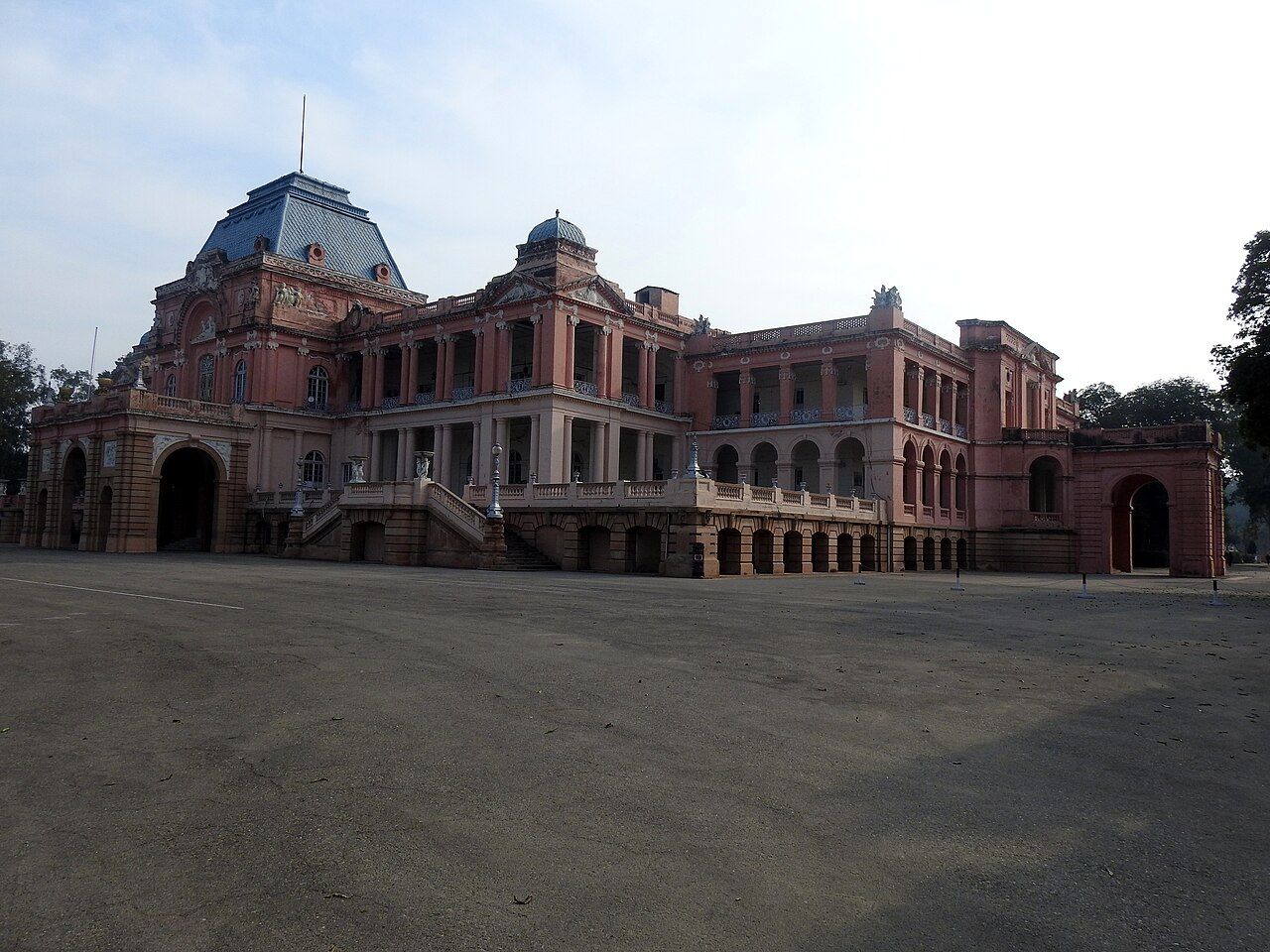
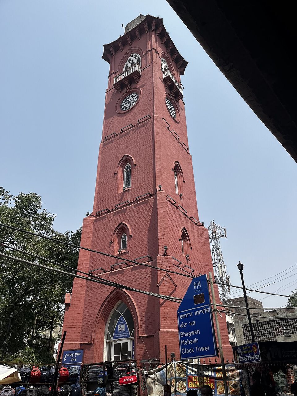
More about each regionTap to open
- Majha means "the middle (central) land" — it is the central region of old Punjab.
- It is the Indian part of the Bari Doab (a doab is the land between two rivers — explained in the next part), between the Ravi and the Beas: Amritsar, Tarn Taran, Gurdaspur and Pathankot.
- In undivided Punjab, Majha spread on both sides of the Ravi, from the Beas towards the Chenab (the Bari Doab and part of the Rachna Doab).
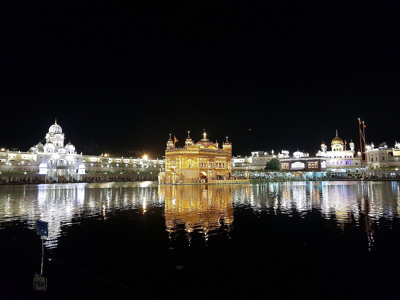
- It was the heartland of the Sikh Misls and of Maharaja Ranjit Singh. Sri Harmandir Sahib (Golden Temple) is in Amritsar, in Majha.
- Its dialect, Majhi, is the basis of standard Punjabi. People of Majha are called Majhails.
- Doaba ("two waters") is the triangular land between the Beas and the Sutlej. Its other name is the Bist–Jalandhar Doab.
- Districts: Jalandhar, Hoshiarpur, Kapurthala, SBS Nagar (Nawanshahr).
- It has the highest share of NRI (non-resident Indian) families, and is a potato and sugarcane belt.
- Malwa is all the land south of the Sutlej. It is the largest region by area and by population, with 15 districts.
- Ludhiana, Punjab's biggest city and industrial hub, is in Malwa — so are Patiala, Bathinda and Sangrur.
- The cotton belt of Punjab is in south-western Malwa: Bathinda, Mansa, Fazilka, Sri Muktsar Sahib and Faridkot. Hot, dry weather plus canal water suit cotton.
- Majha and Doaba mainly grow wheat and rice, not cotton.
Puadh (ਪੁਆਧ) is the small eastern belt between the Sutlej and the Ghaggar, around Rupnagar (Ropar) and SAS Nagar (Mohali). Its dialect is Puadhi. It is often counted as the fourth region of Punjab.
Names that are NOT regions of Indian PunjabTap to open
| Name | What it is | Where |
|---|---|---|
| Pothohar | A plateau around Rawalpindi | Pakistan (in the Sindh Sagar Doab) |
| Lehndi (Lahnda / Multani) | The western dialects of Punjabi | Multan–Jhang belt, Pakistan |
| Sandal Bar, Ganji Bar | Dry uplands between rivers | Pakistan |
| Awadh | A region of Uttar Pradesh (around Lucknow) | Not in Punjab at all |
The five doabs
A doab is the land between two rivers.
Doab is a Persian word: do (two) + aab (water). The five rivers of Punjab, from east to west, are the Sutlej, Beas, Ravi, Chenab and Jhelum. All of them join the Indus. The land between each pair of rivers is a doab, and each doab has a name. The names were given in Akbar's time and are built from the first letters of the two rivers. Dams, canals and river facts are on the rivers, canals and dams page.
- riverSutlej
- doab 1Bist–Jalandhar DoabBi (Beas) + St (Sutlej). India: the Doaba region.
- riverBeas
- doab 2Bari DoabBa (Beas) + Ri (Ravi). Majha in India; Lahore side in Pakistan.
- riverRavi
- doab 3Rachna DoabRa (Ravi) + Chna (Chenab). Pakistan.
- riverChenab
- doab 4Chaj DoabCha (Chenab) + J (Jhelum). Pakistan.
- riverJhelum
- doab 5Sindh Sagar DoabJhelum to Indus. Pakistan (Pothohar).
- riverIndus
The doabs in a tableTap to open
| Doab (east to west) | Between | Today |
|---|---|---|
| Bist–Jalandhar Doab | Beas – Sutlej | India — the Doaba region |
| Bari Doab | Beas – Ravi | Divided: Majha in India; Lahore side in Pakistan |
| Rachna Doab | Ravi – Chenab | Pakistan (Gujranwala, Sialkot, Sheikhupura) |
| Chaj Doab | Chenab – Jhelum | Pakistan (Gujrat, Mandi Bahauddin, Sargodha) |
| Sindh Sagar Doab | Jhelum – Indus | Pakistan (Pothohar) |
Doabs from east to west: "Big Boys Run Cheerfully Sideways" — Bist, Bari, Rachna, Chaj, Sindh Sagar. For the rivers inside the names: Ra-Chna = Ravi + Chenab, Cha-J = Chenab + Jhelum.
Old map: the doabs of undivided PunjabTap to open
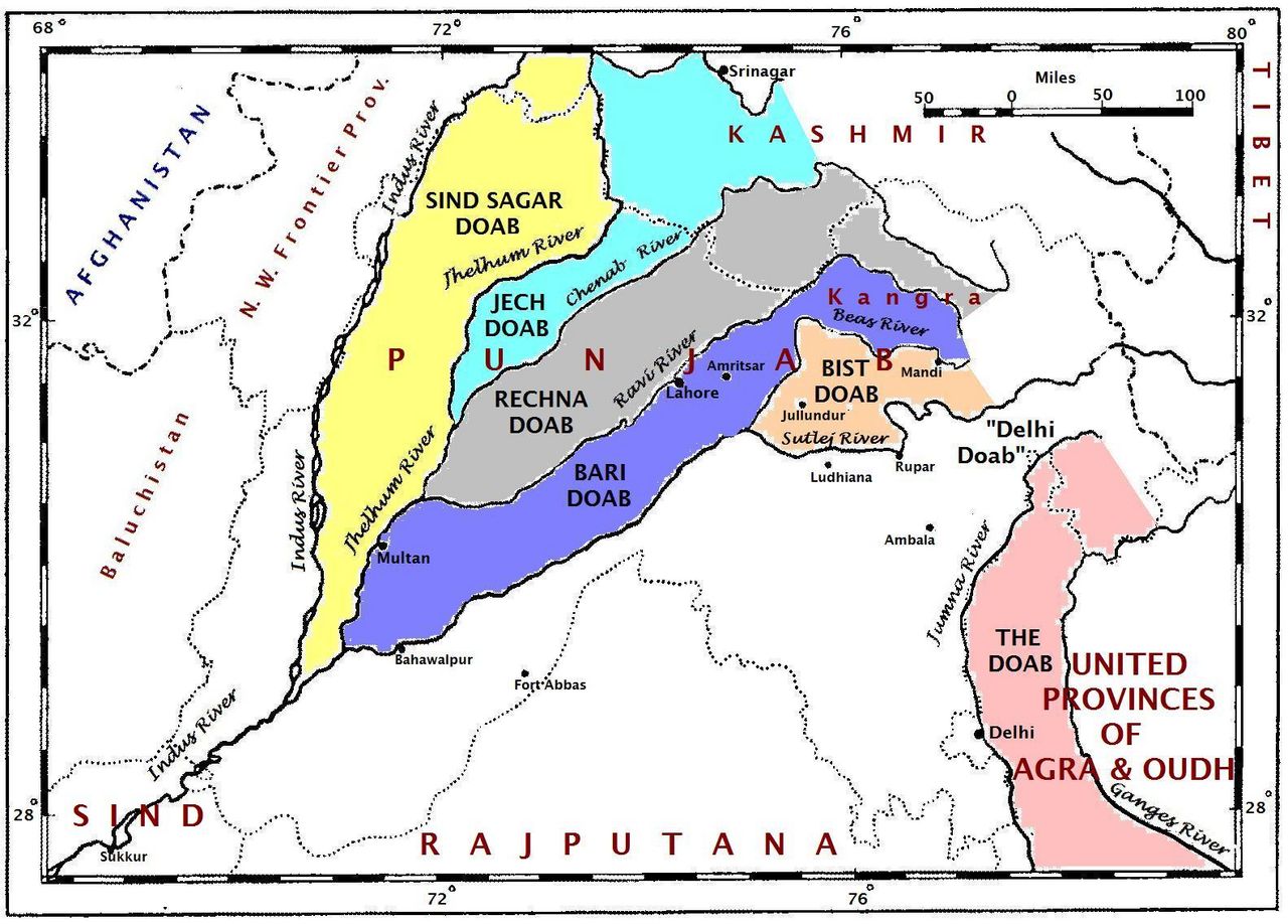
- Ravi – Beas
- Majha (Bari Doab)
- Beas – Sutlej
- Doaba (Bist–Jalandhar Doab)
- South of the Sutlej
- Malwa
- Sutlej – Ghaggar
- Puadh
- Ravi – Chenab
- Rachna Doab
- Chenab and Jhelum
- Chaj Doab
- Jhelum – Indus
- Sindh Sagar Doab
- Beas to Chenab, on both sides of the Ravi (undivided Punjab)
- Majha
How the map changed
The dates behind today's borders and region counts.
- 1947Partition
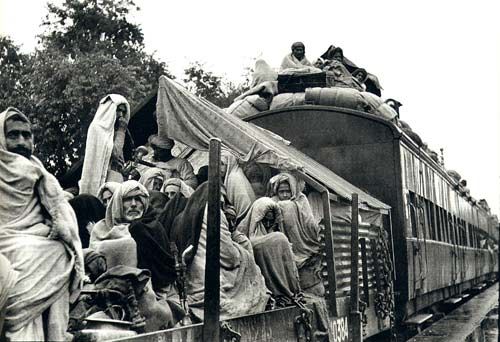
West Punjab goes to Pakistan. India loses the Rachna, Chaj and Sindh Sagar doabs and half of the Bari Doab.
- 1 Nov 1966Present Punjab formed
Haryana is made; Chandigarh becomes a UT; hill areas go to Himachal Pradesh.
- 2006Three new districts
Tarn Taran (from Amritsar), SAS Nagar (from Rupnagar) and Barnala (from Sangrur).
- 2011Pathankot and Fazilka
Pathankot (from Gurdaspur) and Fazilka (from Ferozepur) become districts — both are border districts.
- 2019J&K becomes a Union Territory
Punjab's neighbours change from 4 states + 1 UT to 3 states + 2 UTs.
- 2021Malerkotla, the 23rd district
Carved out of Sangrur. Malwa now has 15 districts.
Common traps
- Majha = Ravi–Beas. Doaba = Beas–Sutlej. Malwa = south of the Sutlej. Do not mix Majha and Doaba.
- Ludhiana is in Malwa — not in Majha or Doaba, even though it is close to the Sutlej.
- Kapurthala is in Doaba and does not touch Pakistan. Faridkot is not a border district either; Ferozepur and Fazilka are.
- Abohar is a town in Fazilka district, not a district.
- 4 states or 3? Before 2019: 4 states. After 2019: 3 states + 2 UTs (J&K, Chandigarh).
- Rank by area: 19th today; older books say 20th.
- Rachna = Ravi–Chenab; Chaj = Chenab–Jhelum; Bari = Beas–Ravi; Bist = Beas–Sutlej.
- The Shivaliks are part of the Himalayas, not the Aravallis.
- Pothohar, Lehndi and Sandal Bar are in Pakistan; Awadh is in Uttar Pradesh.
Quick revision
Read this the night before the exam.
- Latitude: 29°30′ N – 32°32′ N
- Longitude: 73°55′ E – 76°50′ E
- Area: 50,362 sq km
- Share of India's area: about 1.53% (1.5%)
- Rank by area: 19th (20th in older books)
- Shape: roughly triangular
- Border with Pakistan: about 553 km, on the west
- Border districts: Pathankot, Gurdaspur, Amritsar, Tarn Taran, Ferozepur, Fazilka
- Neighbours: 3 states (HP, Haryana, Rajasthan) + 2 UTs (J&K, Chandigarh)
- Before 2019: 4 states
- Present Punjab formed: 1 November 1966
- Recorded forest left in 1966 (exam figure): about 1,875 sq km — not today's figure
- Shivaliks: outermost Himalayan range; north-east Punjab; Hoshiarpur hills
- Kandi: foothill belt with choes
- Bet: river floodplain (khadar)
- Majha: Ravi–Beas; central land; 4 districts
- Doaba: Beas–Sutlej; triangular; 4 districts
- Malwa: south of the Sutlej; 15 districts; cotton belt
- Puadh: Sutlej–Ghaggar; Ropar–Mohali
- Doabs east to west: Bist, Bari, Rachna, Chaj, Sindh Sagar
Name the six districts of Punjab on the Pakistan border, from north to south.
Show answer
Pathankot, Gurdaspur, Amritsar, Tarn Taran, Ferozepur and Fazilka. The first four are in Majha; the last two are in Malwa.
Which region lies between the Beas and the Sutlej, and which districts does it have?
Show answer
Doaba (the Bist–Jalandhar Doab): Jalandhar, Hoshiarpur, Kapurthala and SBS Nagar.
Arrange the doabs of Punjab from east to west.
Show answer
Bist–Jalandhar (Beas–Sutlej) → Bari (Beas–Ravi) → Rachna (Ravi–Chenab) → Chaj (Chenab–Jhelum) → Sindh Sagar (Jhelum–Indus).