The name Punjab means "land of five rivers". The five rivers are the Sutlej, Beas, Ravi, Chenab and Jhelum. After 1947 only three of them — the Sutlej, Beas and Ravi — flow through Indian Punjab. Their water is stored in big dams like Bhakra, Pong and Ranjit Sagar, turned into canals at headworks like Ropar, Harike and Madhopur, and carried to the fields by canals like the Sirhind Canal. This page explains all of it in simple words, with the tables that exams use again and again.
The five rivers at a glance
From east to west: Sutlej, Beas, Ravi, Chenab, Jhelum. All five are tributaries (feeder rivers) of the Indus.
| River | Rises at | Ends by joining |
|---|---|---|
| Sutlej (Satluj) | Rakas Tal near Lake Mansarovar, Tibet | The Chenab, in Pakistan (after taking in the Beas at Harike) |
| Beas | Beas Kund near Rohtang Pass, Kullu (HP) | The Sutlej, at Harike Pattan (Punjab) |
| Ravi | Bara Bhangal, Kangra (HP) | The Chenab, in Pakistan |
| Chenab | Chandra and Bhaga meet at Tandi, Lahaul (HP) | The Indus, as the Panjnad |
| Jhelum | Verinag spring, Kashmir | The Chenab, at Trimmu (Pakistan) |
- Shutudri / Shatadru (Vedic) · Zaradros / Hesydrus (Greek)
- Sutlej (Satluj)
- Vipasha / Vipas (Vedic) · Hyphasis (Greek)
- Beas
- Parushni / Purushni, later Iravati (Vedic) · Hydraotes (Greek)
- Ravi
- Asikni / Askini, also Chandrabhaga (Vedic) · Acesines (Greek)
- Chenab
- Vitasta (Vedic) · Hydaspes (Greek)
- Jhelum
- Sindhu
- Indus
- Saraswati (Sarsuti)
- Ghaggar (as most scholars take it)
Vedic names from east to west — Shu-Vi-Pa-A-Vi: Shutudri (Sutlej), Vipasha (Beas), Parushni (Ravi), Asikni (Chenab), Vitasta (Jhelum). To tell the two V's apart: Vipasha sounds like Vyas, the sage the Beas is named after; Vitasta is the Jhelum, which Kashmiris still call the Vyeth.
- Only three of the five rivers flow through Indian Punjab today: the Sutlej, Beas and Ravi. The Chenab and Jhelum are in Jammu & Kashmir and Pakistan.
- The Sutlej is the longest of the five. It is called the "backbone of Punjab" because Bhakra, Nangal, Ropar, Harike and the Sirhind Canal all depend on it.
- The Beas is the only one of the five that flows wholly inside India. It never enters Pakistan — it ends in the Sutlej at Harike.
- The Ravi is usually called the smallest river of Punjab — it carries the least water of the five. It forms a large part of the India–Pakistan border in Gurdaspur and Amritsar. Lahore stands on its bank.
- The Jhelum does not reach Indian Punjab at all. It flows past Srinagar and Wular Lake and joins the Chenab.
History link: battles on these riversTap to open
In Vedic times the Ravi (Parushni) saw the Battle of the Ten Kings (Dasarajna). In 326 BC Alexander's army refused to go beyond the Beas (Hyphasis); he fought Porus on the Jhelum (Hydaspes).
Where the rivers meet
Where each river flows in Punjab, and who joins whom. All five end up in the Indus.
| River | Main points on its course in Punjab | Towns and places on or near it |
|---|---|---|
| Sutlej | Cuts through the Shivalik hills at Nangal; enters the plains at Ropar; flows along the northern edge of Ludhiana district; meets the Beas at Harike; leaves India below Hussainiwala (Ferozepur) | Nangal, Anandpur Sahib–Kiratpur area, Rupnagar (Ropar), Ludhiana, Phillaur, Harike, Ferozepur |
| Beas | Comes down from Kangra past Talwara; flows through Hoshiarpur and along the Gurdaspur–Kapurthala side; joins the Sutlej at Harike Pattan (Tarn Taran) | Talwara, Mukerian, Dasuya (both Hoshiarpur), Beas town, Goindwal Sahib, Harike |
| Ravi | Enters at Madhopur (Pathankot); runs along the J&K edge, then forms the India–Pakistan border in Gurdaspur and Amritsar | Thein (Ranjit Sagar Dam), Madhopur, Dera Baba Nanak; Lahore (Pakistan) |
An antecedent river is one that is older than the mountains it crosses. As the Himalaya slowly rose, the river kept cutting down and held on to its old path, making a deep gorge. The Sutlej is the classic Punjab example: it rises in Tibet, beyond the main Himalaya, enters India at Shipki La and cuts straight through the range. The Indus and Brahmaputra are other examples in India.
- TrimmuJhelum joins the ChenabAt Trimmu, in Pakistan.
- Ravi joins themThis three-river stream is called the Trimab ("three waters").
- Sutlej joins, already carrying the BeasThe Beas fell into the Sutlej earlier, at Harike in Punjab.
- Panjnad"Five rivers" — the combined stream of all five.
- MithankotPanjnad joins the IndusNear Mithankot, in Pakistan.
Tributaries and small streams
A tributary is a smaller river that flows into a bigger one.
| Stream → Flows into | Remember for |
|---|---|
| Kali Bein (Black Bein) → Beas | Sultanpur Lodhi, where Guru Nanak Dev Ji bathed; Kanjli wetland (Kapurthala); cleaned up by Sant Balbir Singh Seechewal |
| Chitti Bein (White Bein) → Sutlej (some books list it with the Beas) | A Doaba stream; do not mix it up with the Kali Bein |
| Budha Nallah → Sutlej | Flows through Ludhiana city |
| Siswan Khad (seasonal; dries up in the plains) | Seasonal stream of Rupnagar; Siswan Dam near Nurpur Bedi |
| Tangri and Markanda → Ghaggar | The two tributaries of the Ghaggar |
More streams (asked once or twice)Tap to open
| Stream → Flows into | Remember for |
|---|---|
| Parbati → Beas (in Kullu, HP) | A Himalayan tributary of the Beas — it does not flow straight into the Sutlej |
| Uhl → Beas (HP) | Shanan Power House at Joginder Nagar (owned by Punjab) |
| Chakki → Beas | Hill stream near Pathankot |
| Sakki nallah → — | A stream of Gurdaspur district |
| Soan → Indus (Pakistan) | Flows through the Pothohar plateau — not a Sutlej tributary |
The Ghaggar: Punjab's seasonal river
- The Ghaggar is a seasonal river (it flows mainly in the monsoon). It is not one of the five rivers.
- It rises in the Shivalik hills near Dagshai (Himachal Pradesh), passes Panchkula, and then flows through Patiala, Sangrur and Mansa.
- It dies out in the sands of Rajasthan, where it is called the Hakra. Because it is lost in the desert, it is sometimes called the "dead river".
- Many scholars identify it with the Vedic river Saraswati (Sarsuti).
- Its tributaries are the Tangri and the Markanda.
- The flat alluvial plain along the Ghaggar in south-east Punjab is called the Nali (also written Nally).
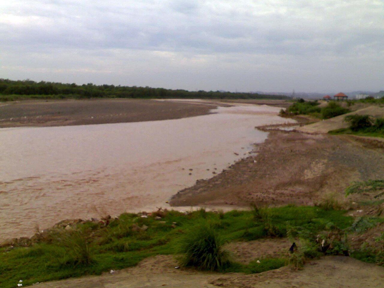
The rivers built Punjab. Almost the whole state is a flat plain of alluvial soil (fine soil laid down by rivers), sloping gently from the north-east to the south-west. It is a fertile plain watered by rivers and canals — not a desert, not a mountain state and not a coastal state. Today canals and tube wells are the main sources of irrigation, not rain alone.
Local words for streams and river landTap to open
- Kandi — the gravelly belt just below the Shivalik hills
- Choe — a seasonal torrent that drains the Kandi in the rains
- Khad — a hill stream, like the Siswan Khad
- Nallah — a drain or small stream, like the Budha Nallah
- Bet / Khadar — low floodplain next to a river, new silt every monsoon
- Dhaya / Bhangar — the high old bank above the bet
- Nali — the alluvial plain along the Ghaggar
- Bangar — old upland between the Ghaggar and the Yamuna (mostly Haryana)
Do not mix up Bhangar (the old high bank next to a river's bet) with Bangar (an upland region between the Ghaggar and the Yamuna, mostly in Haryana). More land words are on the location and physical regions page.
The doabs of Punjab
Each doab takes its name from the two rivers around it. More on regions: Punjab's physical regions.
| Doab (east to west) | Between | Name built from | Where today |
|---|---|---|---|
| Bist Jalandhar | Beas – Sutlej | Bi (Beas) + St (Sutlej) | Indian Punjab (Doaba) |
| Bari | Beas – Ravi | Ba (Beas) + Ri (Ravi) | Divided: Majha in India, Lahore side in Pakistan |
| Rachna | Ravi – Chenab | Ra (Ravi) + Chna (Chenab) | Pakistan (Gujranwala, Sialkot, Sheikhupura) |
| Chaj | Chenab – Jhelum | Cha (Chenab) + J (Jhelum) | Pakistan (Gujrat, Mandi Bahauddin, Sargodha) |
| Sindh Sagar | Jhelum – Indus | Sindh (Indus) + Sagar | Pakistan; dry and sandy, with the sand dunes of the Thal desert; the Pothohar plateau is in its north |
Doabs from east to west: "Big Boys Run Cheerfully Sideways" — Bist, Bari, Rachna, Chaj, Sindh Sagar. They follow the rivers in order: Sutlej | Beas | Ravi | Chenab | Jhelum | Indus.
Dams and reservoirs
A dam stores river water in a lake (reservoir) for irrigation, power and flood control.
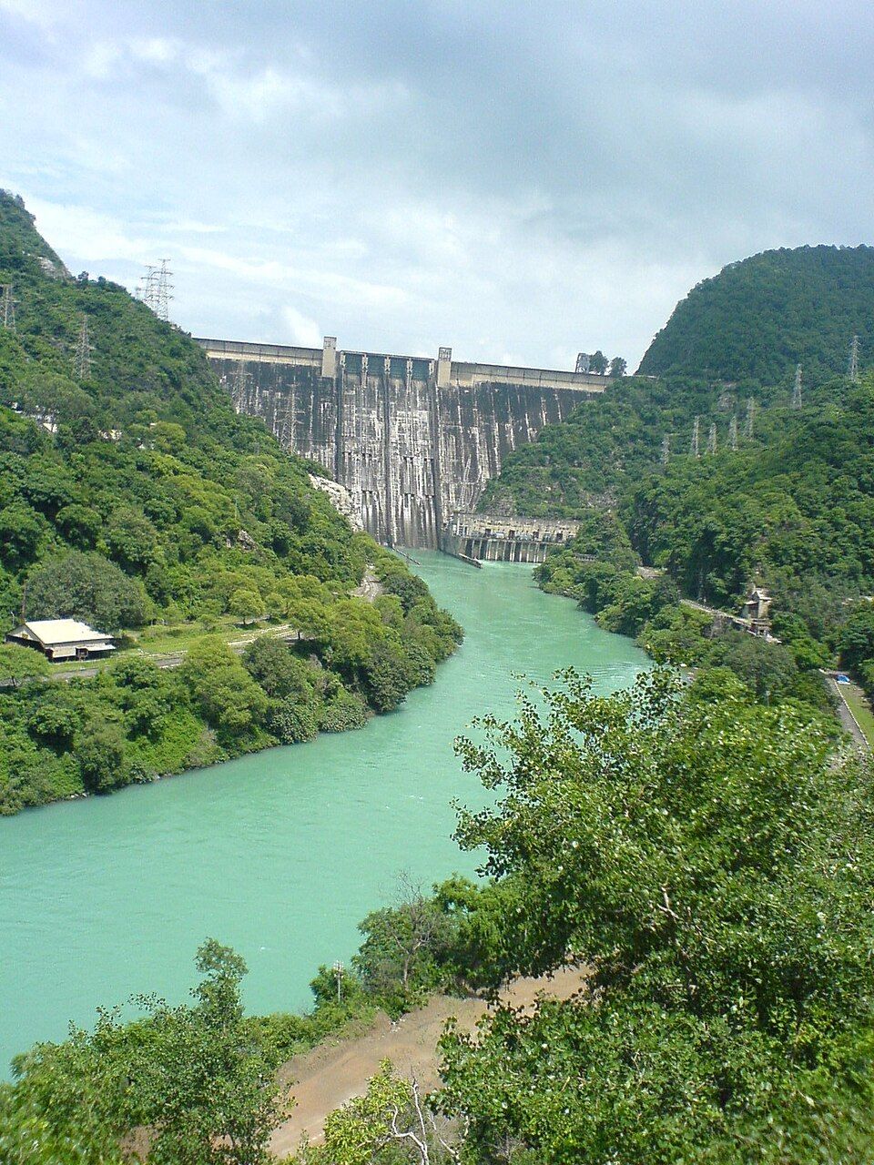
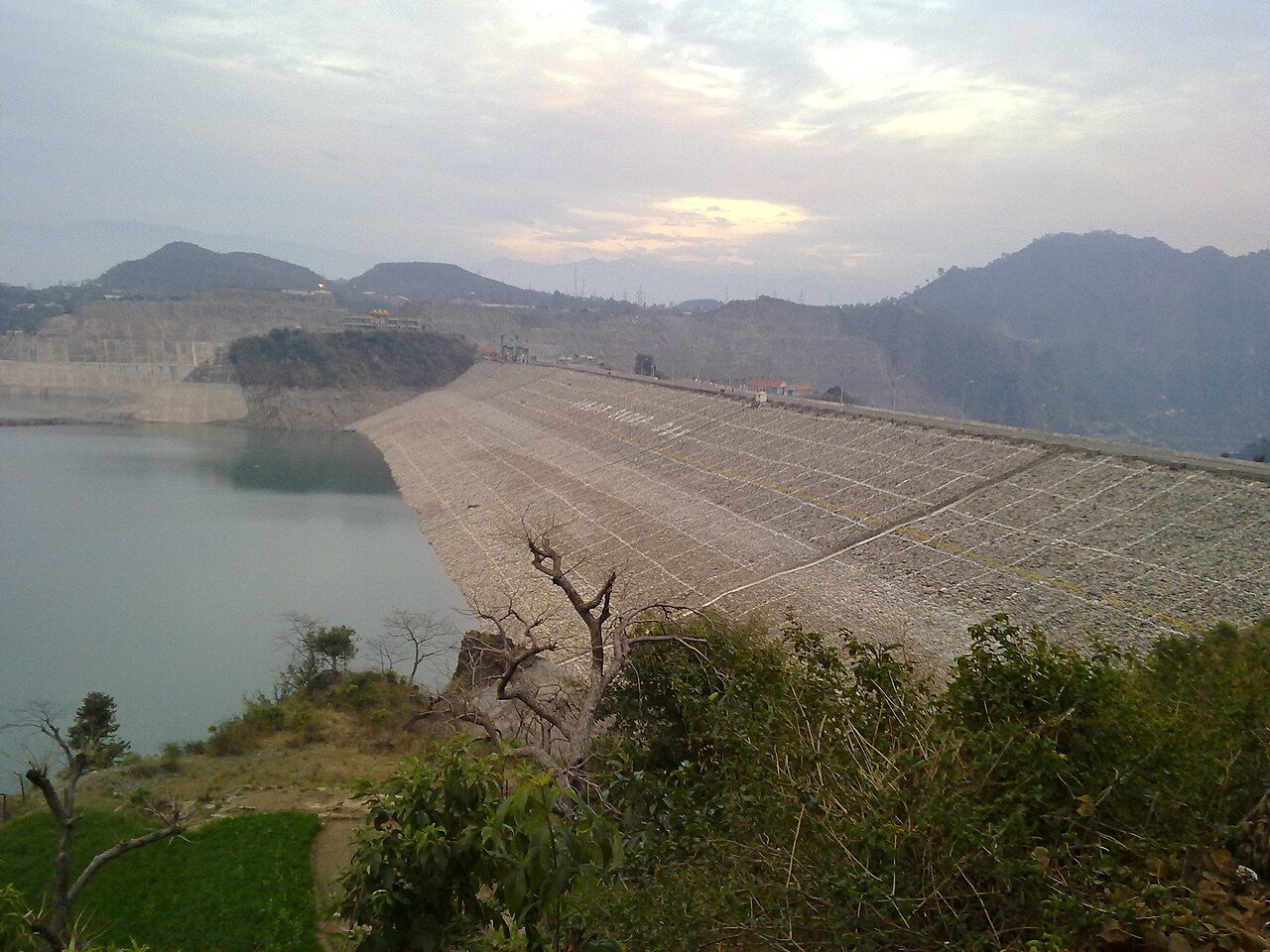
- Bhakra Dam stands on the Sutlej at Bhakra village in Bilaspur district, Himachal Pradesh — not inside Punjab. At 226 m it is among the highest dams in India. It is a concrete gravity dam: a heavy concrete wall that holds the water back by its own weight.
- Its reservoir, Gobind Sagar, is named after Guru Gobind Singh Ji. By storage capacity, exam keys (for example PPSC 2023) give it as the third largest reservoir of India, after Indira Sagar (Madhya Pradesh) and Nagarjuna Sagar. Some books rank it second, because rankings change with how capacity is measured — answer third when it is offered.
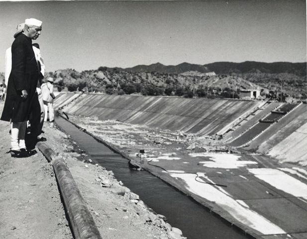
- Jawaharlal Nehru dedicated Bhakra to the nation on 22 October 1963. He called such projects the "temples of modern India".
- The Bhakra–Nangal project is a multipurpose project on the Sutlej: it gives irrigation and hydroelectric power to Punjab, Haryana, Rajasthan and others.
- The Nangal Dam is 13 km downstream, at Nangal in Rupnagar district (Punjab).
- The Bhakra Beas Management Board (BBMB), Chandigarh, runs the Bhakra–Nangal and Beas projects. It was set up under the Punjab Reorganisation Act 1966 as the Bhakra Management Board and got its present name in 1976.
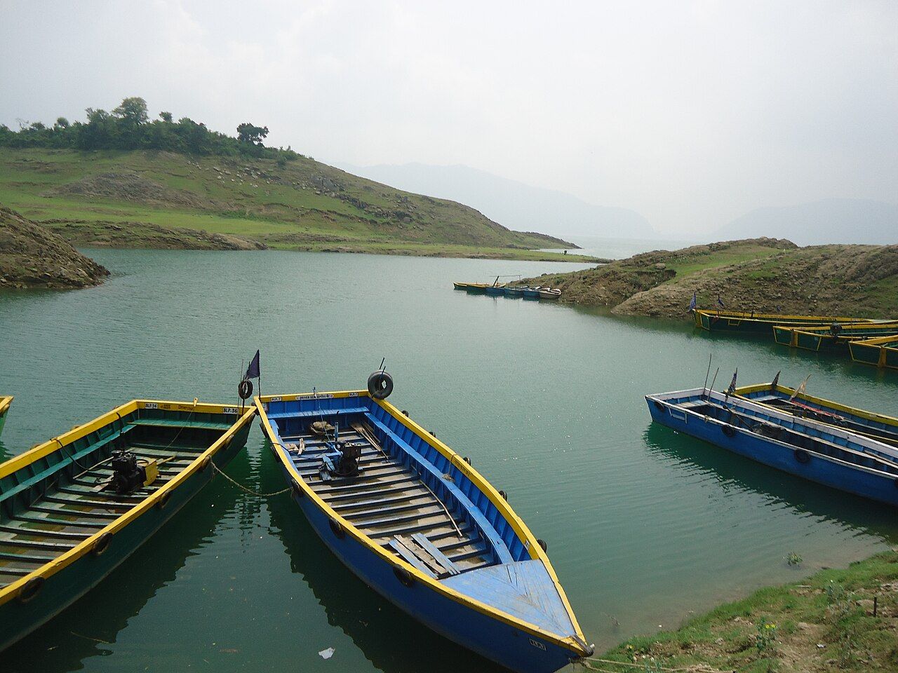
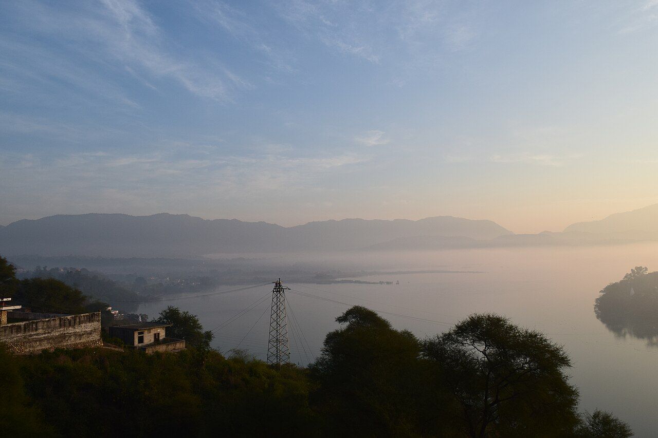
- The Ranjit Sagar Dam was earlier called the Thein Dam, after Thein village. It was renamed after Maharaja Ranjit Singh.
- It is on the Ravi, near Shahpur Kandi, and is a 600 MW hydroelectric project — Punjab's biggest hydel power house.
- It is in Pathankot district. Pathankot was carved out of Gurdaspur in 2011, so older books say "Gurdaspur".
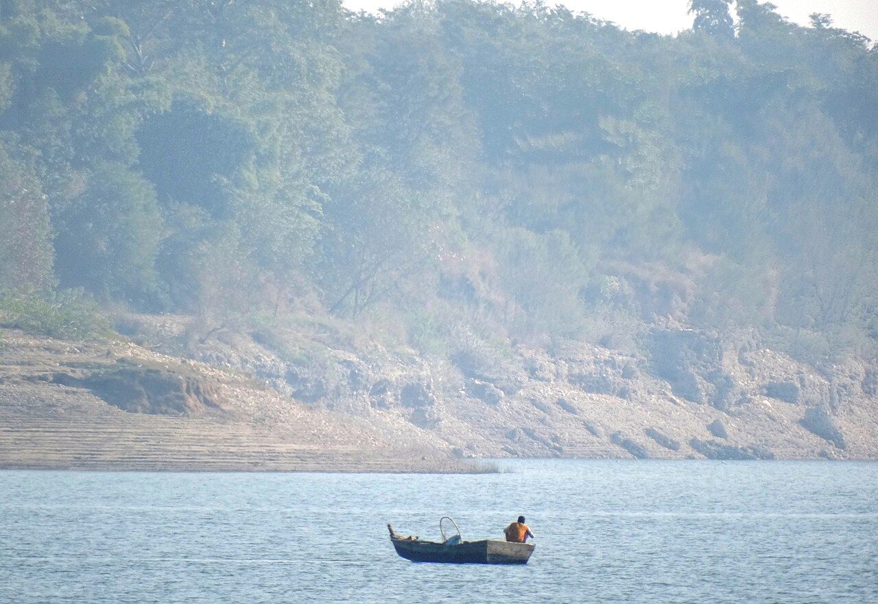
- The Pong Dam on the Beas (Kangra, HP) is an earth-fill dam (made of earth and rock). Its lake, Maharana Pratap Sagar, is itself a Ramsar wetland.
Smaller dams, barrages and Punjab's own power housesTap to open
| Dam | River | Where | Reservoir / key fact |
|---|---|---|---|
| Nangal Dam | Sutlej | Nangal, Rupnagar (Punjab) | 13 km below Bhakra (1954); feeds the Nangal Hydel Channel and Bhakra Main Line |
| Pandoh Dam | Beas | Mandi, Himachal Pradesh | Sends Beas water by tunnel to the Sutlej (Beas–Sutlej Link) for Dehar power house |
| Shahpur Kandi barrage | Ravi | Pathankot (below Ranjit Sagar) | Punjab–J&K joint project; barrage completed 2024 |
| Siswan Dam | Siswan Khad | Near Nurpur Bedi, Rupnagar | Small flood-control and irrigation dam in the Kandi area |
Headworks and barrages
A headworks (or barrage) is a low wall across a river that raises the water so it can flow into a canal.
- Dam · HimachalBhakra DamStores Sutlej water in the Gobind Sagar lake.
- Dam · RupnagarNangal DamSends water into the Nangal Hydel Channel and the Bhakra Main Line.
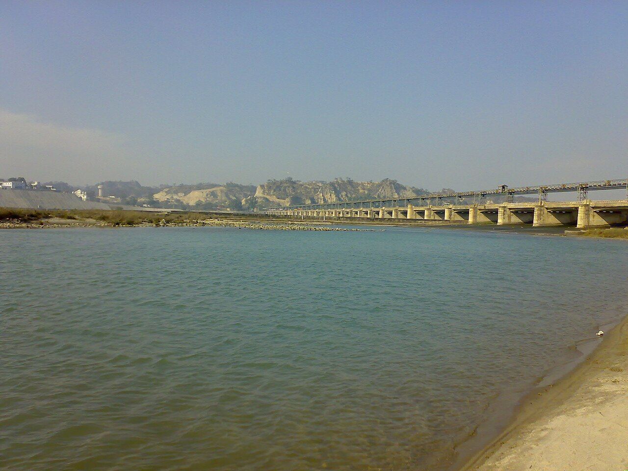
- Headworks · RupnagarRopar headworksSirhind Canal (1882) and Bist Doab Canal (1954) start here.
- Beas joins · Tarn TaranHarike barrageRajasthan Feeder, Sirhind Feeder and Ferozepur Feeder start here.
- Headworks · FerozepurHussainiwala headworksBikaner (Gang) Canal and Eastern Canal start here.
- Into PakistanBelow Hussainiwala the Sutlej leaves India and later joins the Chenab.
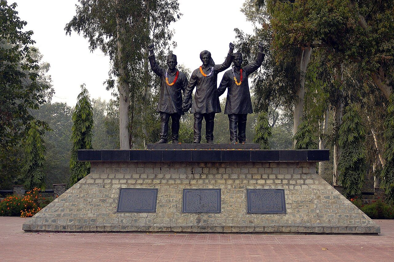
All headworks: river, district and canalsTap to open
| Headworks | River | District | Canals that start here |
|---|---|---|---|
| Ropar (Rupnagar) | Sutlej | Rupnagar | Sirhind Canal (1882), Bist Doab Canal (1954) |
| Nangal | Sutlej | Rupnagar | Nangal Hydel Channel → Bhakra Main Line (1954) |
| Harike barrage (1952–53) | Sutlej + Beas (confluence) | Tarn Taran | Rajasthan Feeder (to the Indira Gandhi Canal), Ferozepur Feeder, Sirhind Feeder |
| Hussainiwala (1927) | Sutlej | Ferozepur | Bikaner (Gang) Canal, Eastern Canal |
| Madhopur (weir 1875–79; barrage 1955) | Ravi | Pathankot | Upper Bari Doab Canal |
| Shah Nehar barrage | Beas | Talwara, Hoshiarpur | Mukerian Hydel Channel, Shah Nehar Canal |
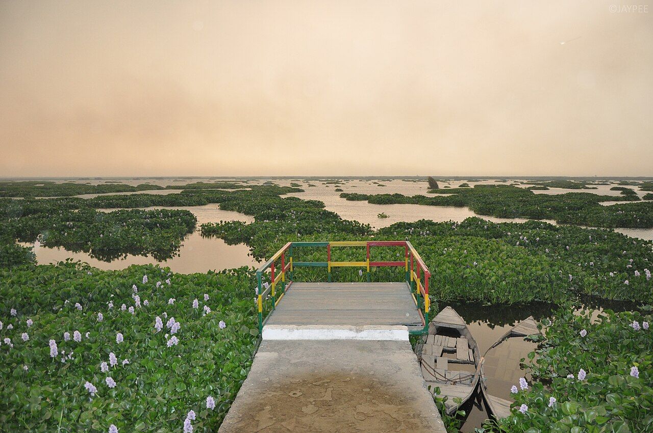
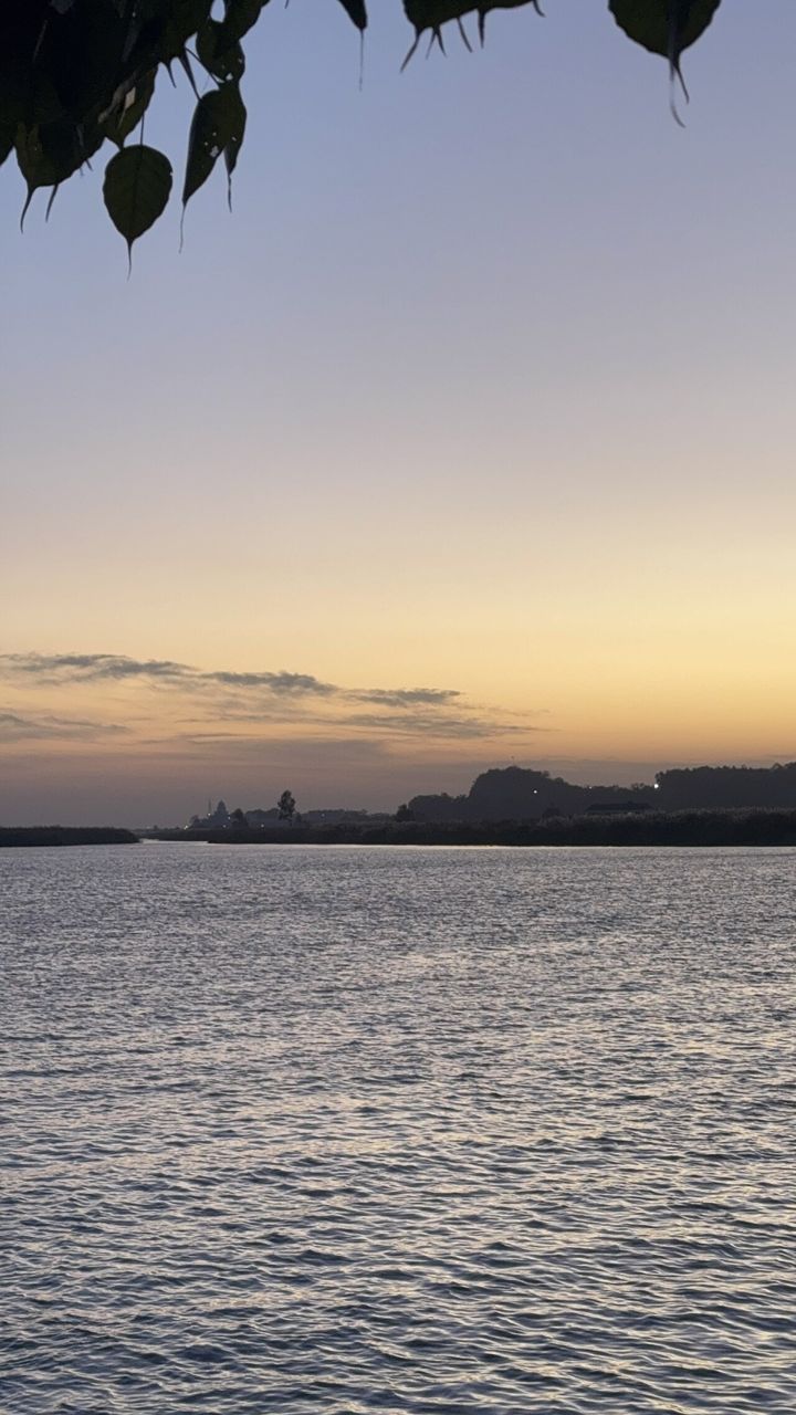
- Harike Pattan (Tarn Taran district) is where the Beas joins the Sutlej. This confluence (meeting point of two rivers) is the most-asked fact on this page.
- The Harike barrage was built here in 1952–53. The lake behind it became the Harike wetland.
- The wetland spreads over three districts: Tarn Taran, Ferozepur and Kapurthala. It does not reach Ludhiana. (Tarn Taran was part of Amritsar district until 2006, so old books write "Amritsar".)
- It is the largest wetland of north India and a famous bird sanctuary for winter migratory birds. It became a Ramsar site (a wetland of world importance) on 23 March 1990.
- Other Punjab Ramsar sites on rivers: Kanjli (Kali Bein, Kapurthala), Ropar (behind the Ropar headworks), Nangal and the Beas Conservation Reserve. More on the wetlands page.
Canals of Punjab
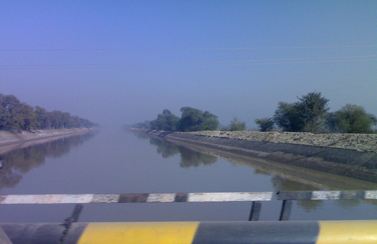
Canals carry river water to the fields. Learn each canal with its river and its headworks.
| Canal | Takes off from | Year | Waters |
|---|---|---|---|
| Upper Bari Doab Canal (UBDC) | Ravi at Madhopur | 1859 | Gurdaspur, Amritsar, Tarn Taran (Majha) — oldest canal of Indian Punjab |
| Sirhind Canal | Sutlej at Ropar | 1882 | Malwa: Ludhiana, Fatehgarh Sahib, Patiala, Sangrur, Barnala, Bathinda |
| Bhakra Main Line (BML) | Nangal Hydel Channel | 1954 | Punjab, Haryana and Rajasthan — longest canal system in the state |
| Bist Doab Canal | Sutlej at Ropar | 1954 | Jalandhar, Hoshiarpur, Kapurthala, SBS Nagar (Doaba) |
| Rajasthan Feeder | Harike | 1958–61 | Runs through Ferozepur, Faridkot and Sri Muktsar Sahib to the Indira Gandhi Canal |
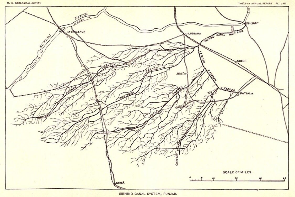
- The Sirhind Canal takes water from the Sutlej at the Ropar (Rupnagar) headworks, where the river enters the plains. It opened in 1882 and is one of the oldest and biggest canal systems of Punjab.
- It is named after the Sirhind tract that it waters — not after the place where it starts. It does not start at Sirhind town.
- At Doraha (Ludhiana district) the main canal splits into its three main branches — the Abohar, Bathinda and Patiala branches. The smaller Kotla and Ghaggar branches also belong to the Sirhind system.
- The Upper Bari Doab Canal starts from the Ravi at Madhopur near Pathankot and waters the Bari Doab (Majha).
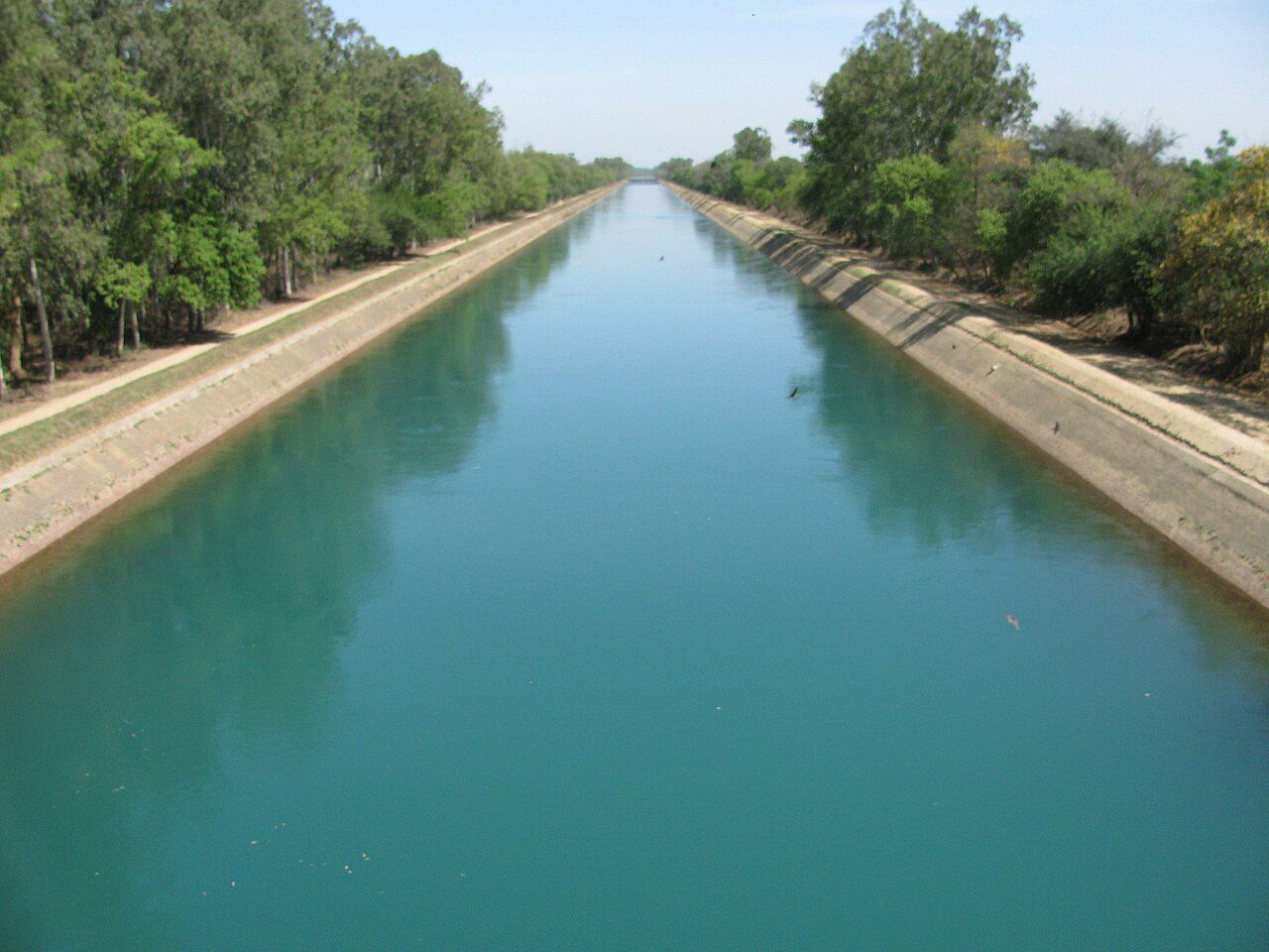
The Rajasthan Canal, now called the Indira Gandhi Canal, gets its water from the Harike barrage. The first part, the Rajasthan Feeder, runs through Punjab (Ferozepur, Faridkot, Sri Muktsar Sahib); the main canal begins at the Rajasthan border. It is India's longest canal and takes water to the Thar desert districts of north-west Rajasthan.
More canals, and facts asked onceTap to open
| Canal | Takes off from | Year | Waters |
|---|---|---|---|
| Bikaner Canal (Gang Canal) | Sutlej at Hussainiwala | 1927 | Mostly Rajasthan (old Bikaner state) |
| Eastern Canal | Sutlej at Hussainiwala | 1927 | Fazilka–Abohar area |
| Sirhind Feeder, Ferozepur Feeder | Harike | 1950s | Sri Muktsar Sahib, Fazilka, Ferozepur |
| Shah Nehar / Mukerian Hydel Canal | Beas at Talwara | 1980s | Hoshiarpur, Gurdaspur |
Gandak, Kosi and Son canals are in Bihar, not Punjab. The big canals of Punjab are the Sirhind Canal, Bhakra Main Line, Upper Bari Doab Canal and Bist Doab Canal.
River waters: treaties and disputes
Basics only. The politics is on the Punjab after 1947 page.
- The Indus Waters Treaty was signed at Karachi on 19 September 1960 by Jawaharlal Nehru and Pakistan's President Ayub Khan. The World Bank helped to make the deal.
- In April 2025 India announced it was holding the treaty in abeyance (on hold). Check the latest position before your exam.
- Inside India, Punjab's river waters are shared with Haryana and Rajasthan. Punjab says it has no surplus water and follows the riparian principle (water belongs to the state the river flows through).
| Year | River-water milestone |
|---|---|
| 1966 | Punjab Reorganisation Act (section 78) lets the Centre share waters between Punjab and Haryana |
| 31 Dec 1981 | Tripartite agreement: Punjab, Haryana, Rajasthan |
| 8 Apr 1982 | Indira Gandhi lays the foundation of the SYL (Sutlej–Yamuna Link) canal at Kapoori, Patiala district |
| 12 Jul 2004 | Punjab Termination of Agreements Act cancels Punjab's river-water agreements, including that of 1981 |
| 10 Nov 2016 | Supreme Court, answering a Presidential reference (an advisory opinion), says the 2004 Act is not valid |
More river-water milestonesTap to open
| Year | River-water milestone |
|---|---|
| 1955 | Inter-state meeting shares the Ravi–Beas surplus among Punjab, PEPSU, Rajasthan and J&K |
| 1976 | Central notification: 3.5 MAF (million acre-feet, a unit of water volume) each to Punjab and Haryana |
| 1986–87 | Eradi Tribunal (Ravi–Beas Waters Tribunal) under Justice V. Balakrishna Eradi; report 1987, never notified |
Timeline: dams, headworks and canalsTap to open
- 1859Upper Bari Doab Canal opens
From the Ravi; oldest canal of Indian Punjab. Madhopur weir built 1875–79.
- 1882Sirhind Canal opens
From the Sutlej at Ropar, to water Malwa.
- 1927Hussainiwala headworks
Bikaner (Gang) Canal and Eastern Canal begin.
- 1952–53Harike barrage
Built at the Sutlej–Beas confluence; the Harike wetland forms behind it.
- 1954Nangal Dam, Bhakra Main Line, Bist Doab Canal
The Bhakra–Nangal canal system starts working.
- 1958–61Rajasthan Feeder
Built from Harike to carry water to the Rajasthan (Indira Gandhi) Canal.
- 1960Indus Waters Treaty
Ravi, Beas and Sutlej go to India.
- 1963Bhakra Dam dedicated
By Nehru on 22 October 1963. Gobind Sagar fills behind it.
- 1966Bhakra Management Board set up
Under the Punjab Reorganisation Act, to run the Bhakra project; renamed BBMB in 1976 when the Beas projects were added.
- 1974Pong Dam
On the Beas in Kangra; Maharana Pratap Sagar.
- 1982SYL canal foundation
At Kapoori, Patiala district.
- 1990Harike becomes a Ramsar site
On 23 March 1990.
- 2001Ranjit Sagar (Thein) Dam completed
On the Ravi, 600 MW.
- 2024Shahpur Kandi barrage completed
On the Ravi, below Ranjit Sagar.
Common traps
- Sirhind Canal ≠ Sirhind town. The canal starts at Ropar on the Sutlej, not at Sirhind, Nangal or Talwara, and not on the Beas.
- Sirhind Canal vs Sirhind Feeder: the canal starts at Ropar; the feeder starts at Harike.
- Nangal vs Ropar: the Sutlej cuts through the Shivaliks at Nangal but enters the plains at Ropar.
- Bhakra vs Nangal: Bhakra Dam is in Himachal (Bilaspur); Nangal Dam is in Punjab (Rupnagar). Gobind Sagar is behind Bhakra.
- Gobind Sagar vs Maharana Pratap Sagar: Sutlej (Bhakra) vs Beas (Pong).
- Who joins whom: the Beas joins the Sutlej (at Harike), not the other way round. The Sutlej ends in the Chenab (Panjnad) in Pakistan. The Jhelum ends in the Chenab at Trimmu — not in the Beas or the Sutlej.
- Rachna vs Chaj: Rachna = Ravi–Chenab; Chaj = Chenab–Jhelum. Bari = Beas–Ravi; Bist = Beas–Sutlej.
- Parushni vs Vipasha: Parushni is the Ravi; Vipasha is the Beas; Asikni is the Chenab; Vitasta is the Jhelum.
- Ranjit Sagar Dam is in Pathankot district (since 2011), not Gurdaspur or Hoshiarpur. Its old name is Thein Dam.
- Harike districts: Tarn Taran, Ferozepur and Kapurthala — never Ludhiana.
- Rajasthan Canal starts from Harike, not Rampura Phul, Jaito or Dabwali.
- Not regions of Indian Punjab: Pothohar is a plateau in Pakistan, between the Jhelum and the Indus (Rawalpindi). Awadh, Rohilkhand and Bundelkhand are regions of Uttar Pradesh and central India.
Quick revision
Read this the night before the exam.
- Punjab = panj (five) + aab (water), Persian
- Doab = do (two) + aab (water), Persian
- Rivers east to west: Sutlej, Beas, Ravi, Chenab, Jhelum
- Longest / backbone of Punjab: Sutlej
- Smallest (least water): Ravi
- Only river wholly in India: Beas
- Antecedent river: Sutlej (from Rakas Tal, Tibet)
- Ravi = Parushni; Beas = Vipasha (Greek Hyphasis)
- Chenab = Asikni; Jhelum = Vitasta; Sutlej = Shutudri
- Beas + Sutlej meet at Harike (Tarn Taran)
- Jhelum joins Chenab at Trimmu
- Bist = Beas–Sutlej; Bari = Beas–Ravi
- Rachna = Ravi–Chenab; Chaj = Chenab–Jhelum
- Bhakra: Sutlej, Bilaspur (HP), Gobind Sagar (3rd largest reservoir, as exam keys give it)
- Pong: Beas; Ranjit Sagar (Thein): Ravi, Pathankot
- Siswan Dam: Siswan Khad, Rupnagar
- Sirhind Canal: Sutlej at Ropar, 1882; splits at Doraha
- UBDC: Ravi at Madhopur, 1859
- Rajasthan (Indira Gandhi) Canal: from Harike
- Ghaggar: seasonal "dead river"; its plain = Nali
Where does the Sirhind Canal take off, and from which river?
Show answer
From the Sutlej at the Ropar (Rupnagar) headworks. It opened in 1882 and waters the Malwa region; its main branches split at Doraha.
Match the dams with their rivers: Bhakra, Pong, Ranjit Sagar.
Show answer
Bhakra – Sutlej (Gobind Sagar), Pong – Beas (Maharana Pratap Sagar), Ranjit Sagar (Thein) – Ravi.
Which doab lies between the Ravi and the Chenab, and which between the Chenab and the Jhelum?
Show answer
Rachna Doab (Ra-vi + Ch-ena-b) lies between the Ravi and the Chenab. Chaj Doab (Cha-nab + J-helum) lies between the Chenab and the Jhelum.